
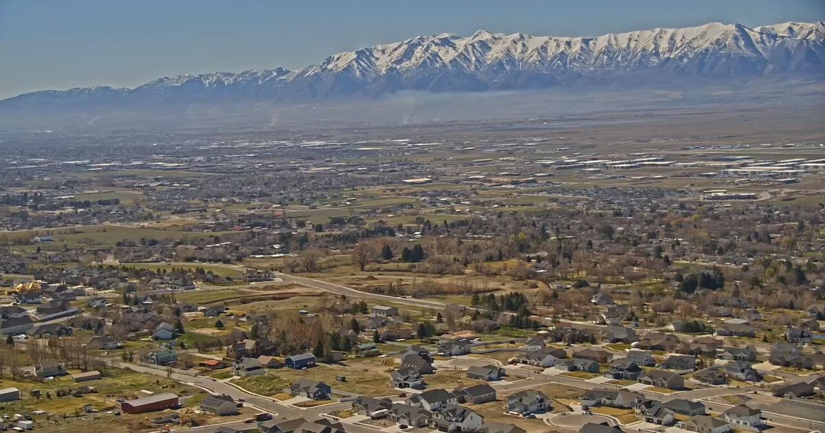
SALT LAKE CITY — Utah’s snowpack has hit a historic low after peaking three weeks early, prompting state water officials to urge local communities to prepare drought contingency plans.
The state’s snowpack peaked on March 9 at just 8.4 inches, roughly half of what Utah typically accumulates by the beginning of April. Forecasts indicate rapid snowmelt will likely outpace any new precipitation. According to the Natural Resources Conservation Service, nearly a third of Utah’s SNOTEL network reported its worst or second-worst snowpack on record as of early March.
The grim water outlook follows Utah’s warmest winter since record-keeping began in 1874. Statewide temperatures averaged 2.2 degrees above previous highs, and Salt Lake City shattered its own record by more than 7 degrees. Currently, 98% of the state is experiencing some form of drought.
While state reservoir storage averages 68% capacity — slightly above normal for this time of year but down from 80% last year — water managers anticipate relying heavily on these existing reserves to meet summer demands.
Laura Haskell, drought coordinator for the Utah Division of Water Resources, urged local water providers to review and implement their drought response plans to mitigate the impact. The Department of Natural Resources is also encouraging residents and farmers to adopt water-saving practices through initiatives like Slow the Flow and the Agricultural Water Optimization Program.