Dangerous air quality will be a significant issue for millions of Americans to deal with early this week, as fires continue to spark throughout Canada.
Much of that smoke is coming from new wildfires in the Quebec province, according to meteorologists.
There have been nearly 400 forest fires in the province so far in 2023, while the 10-year average is 197, data from the fire prevention nonprofit SOPFEU shows, according to the Canadian Broadcasting Corporation.
Satellite images show smoke moving over areas from Chicago and Indianapolis to Cincinnati, and much of Wisconsin is experiencing dangerous air near the surface.
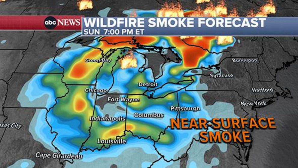
This near-surface smoke, meaning people would be able to breathe it, will stretch from Wisconsin to West Virginia on Sunday.
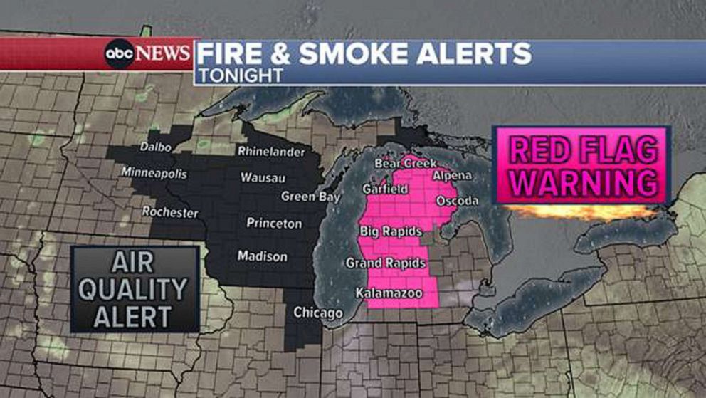
Dry weather and gusty winds in the Midwest have increased the wildfire risk, with a large portion of Michigan under a red flag warning.

Weather map of fire and smoke alerts for June 4, 2023.
ABC
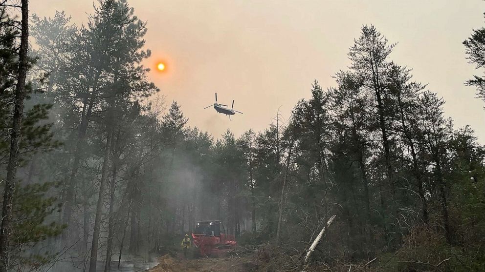
Outdoor burning is not recommended, as firefighters have been working to put out several fires over the last few days.
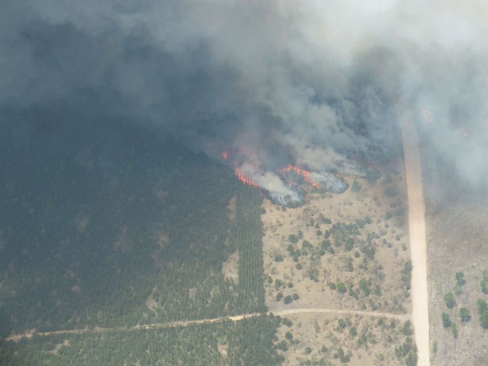
The Wilderness Trail Fire in Michigan, which began on Saturday, has burned about 2,400 acres and is 85% contained, according to the Michigan Department of Natural Resources.

Wildfire in Crawford County, Mich.
Michigan Department of Natural Resources
Older adults, kids, people with lung or heart disease and those who are pregnant should not partake in lengthy or heavy exertion, according to meteorologists.
The near-surface smoke will intensify by Tuesday morning, impacting areas from Nashville to Indianapolis, Pittsburgh to New York City and Hartford, Connecticut, to Burlington, Vermont.

Weather map of wildfire smoke forecast for June 4, 2023.
ABC
Despite inching closer to the official start of summer, a large part of the Northeast is unseasonably cool on Sunday, with much of New England looking at high temperatures in the 50s and 60s.
A persistent cloudy and showery stretch of weather this weekend is leading to temperatures that are 20 to 30 degrees below normal for this time of year.
Temperatures are expected to steadily rebound into the 70s headed through the upcoming week.
New York and Pittsburgh are both forecast to reach 81 degrees on Tuesday.
Meanwhile, in the tropics, Tropical Storm Arlene, the Atlantic hurricane season’s first named storm, has fizzled out. However, a showery pattern remains for south Florida.
A flood watch will remain in effect until at least Sunday evening due to an additional 1 to 2 inches of rain in cities like Miami and Fort Lauderdale.

