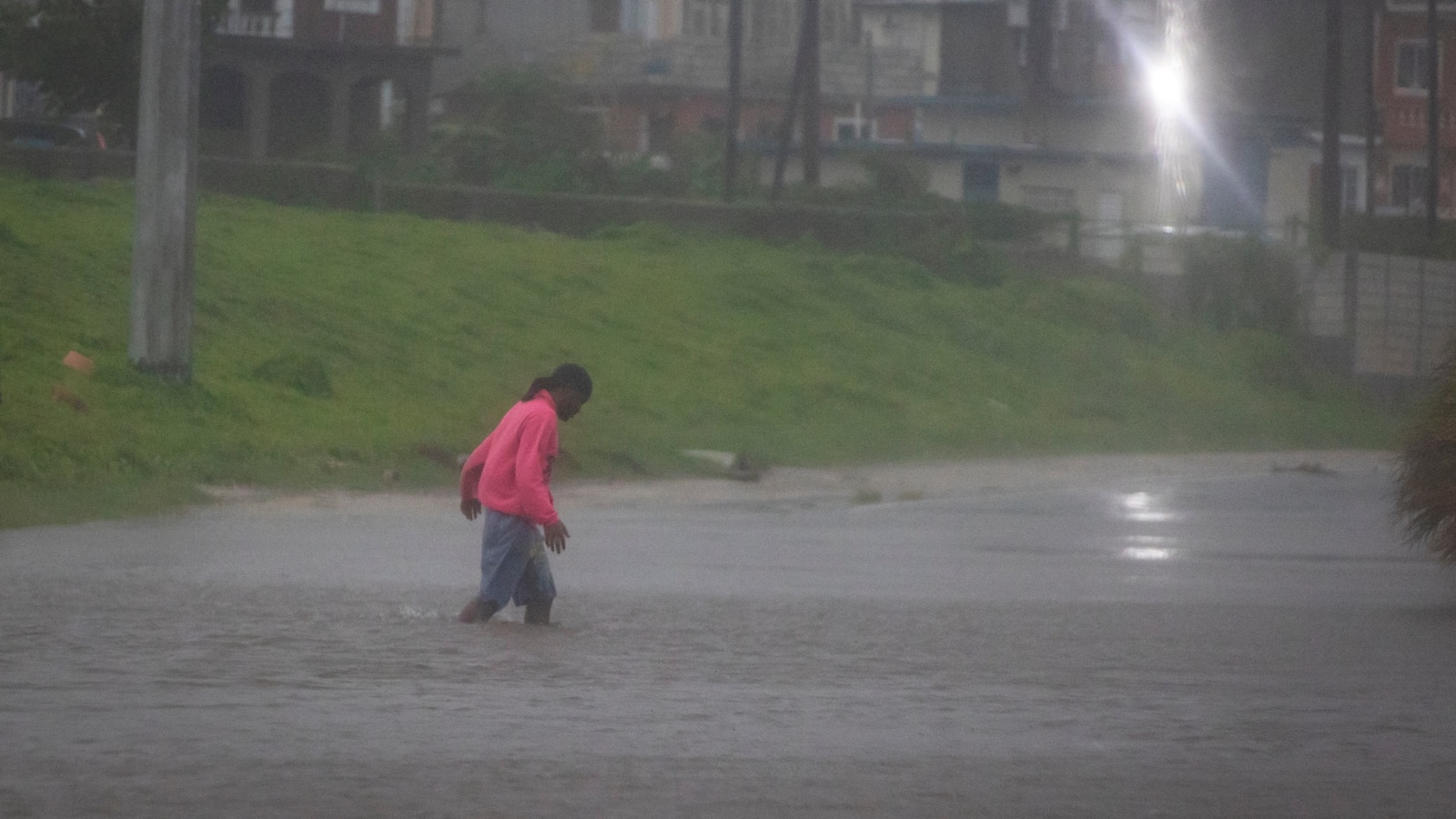
Hurricane Beryl has weakened to a Category 3 storm on Thursday, but not before leaving flooding and widespread damage on the island of Jamaica late Wednesday.
Beryl’s center passed just 45 miles south of Kingston, Jamaica, as a Category 4 hurricane with winds of 140 mph.
Beryl was the first major hurricane — at least a Category 3 — to pass this close to Jamaica since 2007.

Floodwaters pour onto the street as Hurricane Beryl passes through the area on July 3, 2024, in Kingston, Jamaica. Beryl has caused widespread damage in several island nations as it continues to cross the Caribbean.
Joe Raedle/Getty Images
By Thursday morning, Beryl had weakened to Category 3 hurricane with winds of 120 mph, as it approaches the Cayman Islands.
The hurricane should pass just south of the Cayman Islands Thursday morning, bringing hurricane-force winds and storm surge that could produce a water rise of 4 to 6 feet as well as half a foot of rain.

Hurricane Beryl has weakened to a Category 3 as it charts a path toward landfall on the Yucatan Peninsula.
ABC News
The next landfall for Beryl will likely be on Mexico’s Yucatan Peninsula, where major resorts such as Cancun, Playa De Carmen and Tulum are under hurricane warnings.
Beryl could be a Category 1 hurricane as it reaches the Mexican resorts early Friday morning with wind gusts near 74 to 85 mph, storm surge up to 3 feet and up to 8 inches of rain.
By Friday evening, Beryl should cross into the southern Gulf of Mexico and weaken into a tropical storm.
As Beryl moves over the Gulf, in the direction of U.S.-Mexico border, it could re-intensify back into a hurricane, with winds near 75 mph ahead of landfall. Right now, it’s too soon to tell exactly where it will make landfall along the Gulf Coast, with models predicting anywhere from northeastern Mexico to Texas’ Gulf Coast.

Moving past Jamaica, Beryl could make another landfall near the Mexico-U.S. border after crossing the Yucatan Peninsula.
ABC News
Regardless of Beryl’s strength, it is expected to bring heavy rain to southern Texas.
In addition, the prolonged period of onshore winds along the U.S. Gulf Coast could create rough beach conditions, including a risk for rip currents this holiday weekend.

