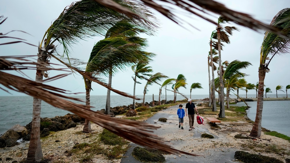
Heavy rain, flooding, strong wind gusts and a few tornadoes are possible along the East Coast throughout this weekend as a new storm tracks north.
The storm developing over the Gulf of Mexico is already bringing a few showers to Florida Saturday morning. The rain will increase in coverage and strength over the states as the day continues, along with wind gusts over 40 mph.
Saturday afternoon, Florida is expected to see thunderstorms, but some of them will bring moderate to heavy downpours, which may cause flooding. Heavy rain is expected to blanket Florida throughout the evening hours.

There is also a chance for damaging winds and a few tornadoes within the storm on Saturday in Florida.
Flood Watches have been issued in Southeast Florida, including Miami and Ft. Lauderdale, and in northern Florida and southern Georgia, including Jacksonville and Gainesville. Wind advisories were issued along the east coast of Florida for gusts up to 45 mph through the day and night – although individual storms may bring stronger winds with them. While 2 to 4 inches is generally expected in much of Florida, localized amounts around 6 inches are possible.
Sunday morning, the storm makes a northern push along the East Coast and brings heavy rain to Georgia and the Carolinas in the morning hours. The continuous rain throughout the day will bring a flooding threat to the Mid-Atlantic on Sunday.
There is also a severe threat over the eastern Carolinas on Sunday with strong winds and an isolated tornado or two possible. Sunday afternoon, rain moves up I-95 and into Washington D.C. and Baltimore.

Sunday evening, rain finally reaches the Northeast –- which has been dry otherwise throughout much of the weekend. Flood Watch and Wind Advisory are planned for Sunday afternoon through Monday afternoon in the Northeast where winds may gust up to 50 mph and heavy rain may lead to flooding through the time period. These alerts are likely to spread north as the storm gets closer.
On Monday morning, heavy rain is expected in the Northeast. Heavy rain will be coming down in New Jersey and New York City, up through Boston and upstate New York. Flooding is possible on Monday morning.
It is expected to be very warm on Monday with high temperatures in the Northeast near records in cities like Boston; Portland, Maine; Burlington, Vermont; Providence, Rhode Island and Hartford, Connecticut with highs forecast in the upper 50s and lower 60s.

Bob Givehchi, right, and his son Daniel, 8, Toronto residents visiting Miami for the first time, walk past debris and palm trees blowing in gusty winds, at Matheson Hammock Park in Coral Gables, Fla.,on Dec. 15, 2023.
Rebecca Blackwell/AP
Rain will continue on Monday for much of the Northeast, finally moving north of NYC around 5 p.m. ET. Generally, 2 feet and 4 inches of rain are expected in the Northeast, however, higher amounts are possible where heavy rain becomes stagnant over localized areas for too long. By Tuesday morning the rain will be out of the U.S. and only a few lingering snow showers are expected near the Great Lakes and into parts of Appalachia.

