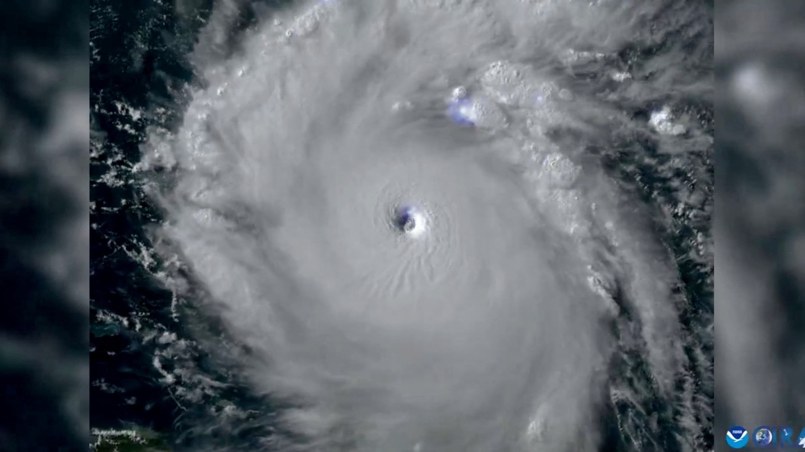
After Hurricane Beryl strengthened to a Category 5 while over the ocean, a Hurricane warning is now in effect for Jamaica, according to the National Hurricane Center.
Hurricane Beryl is expected to produce rainfall totals of 4 to 8 inches across portions of Jamaica on Wednesday, with isolated amounts of up to 12 inches possible. This could trigger flash flooding in vulnerable areas.
The outer bands of Beryl could impact southern portions of the Dominican Republic and Haiti beginning late Tuesday into Wednesday, potentially causing 2 to 6 inches of rain in these areas.

An illustration of the path of Hurricane Beryl (ABC News)
ABC News
Sea surface temperatures in the eastern Caribbean Sea, where Beryl is currently located, are running warmer than average for this time of the year, more in line with where they would be at the peak of the Atlantic Hurricane Season rather than early July. This is providing ample fuel for Beryl’s extreme intensification.
The latest forecast calls for little change in strength overnight, with a gradual weakening trend commencing on Tuesday as the storm sweeps west-northwestward across the Caribbean Sea.
Beryl will continue to track across the Caribbean Sea throughout the week, closing in on Jamaica on Wednesday, likely weakening to a Category 2 storm by then. The center and worst impacts will likely pass south of the island; however, the latest forecast now has the center of the storm passing a little closer to Jamaica, so more intense rain, wind and storm surge impacts will be possible on the current track.
A weakening trend will continue through the rest of the week as Beryl sweeps across the Caribbean Sea and encounters less favorable atmospheric conditions.

An illustration of the forecasted path of Hurricane Beryl (ABC News)
ABC News
Beryl will then take aim at Mexico‘s Yucatan Peninsula by the end of the week. The current forecast calls for a second landfall sometime on Friday along the eastern coast of the Yucatan Peninsula. Beyond that, the system will likely move into the southwestern Gulf of Mexico/Bay of Campeche, continuing to weaken, while taking aim at parts of eastern Mexico next weekend as a tropical storm.
Unfortunately, the same general area of eastern Mexico will likely now see impacts from all three of the first named storms of the 2024 Atlantic Hurricane Season. After being hit by Alberto and just recently by Tropical Storm Chris over the past 24 hours, Beryl will likely bring at least some impacts to the same region by later in the upcoming weekend.

