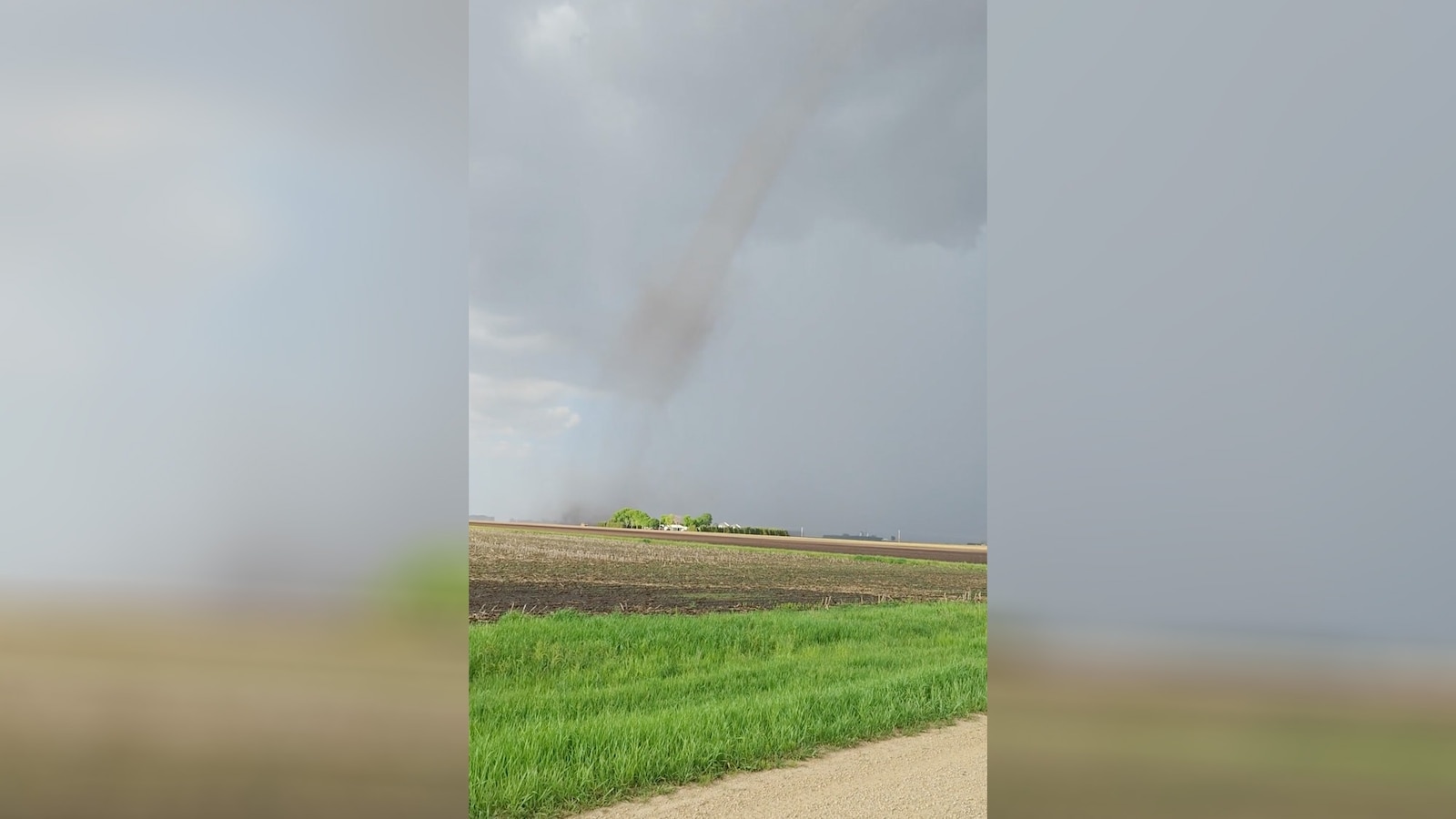
Millions of people in states from the Great Plains to the Midwest were under the threat of tornadoes Tuesday, including Iowa, where several twisters touched down near Des Moines, causing major damage.
A “devastating” tornado hit the town of Greenfield, Iowa, located southwest of Des Moines, causing fatalities and injuries in the area, Sgt. Alex Dinkla of the Iowa State Patrol said at a news conference Tuesday night.
The Adair County Memorial Hospital team, which serves Greenfield, sustained tornado damage, Dinkla said, but still managed to treat patients and transport some to nearby hospitals for further care.
Search efforts were underway Tuesday night, with officials working to provide a clear and accurate count of those affected, the officer said.

Tornado on the ground near Red Oak, Iowa, May 21, 2024.
Evan Occhino/X
“We believe we have everyone accounted for, but we are conducting extensive searches to be thorough,” he said.
The National Weather Service had issued tornado watches for parts of Nebraska, Iowa, South Dakota, Missouri, Arkansas, Wisconsin, Illinois, Minnesota, Kansas and Oklahoma through Tuesday night.
Nearly the entire state of Iowa was under a “Particularly Dangerous Situation,” according to the National Weather Service, which issued several tornado warnings.
On Tuesday, Iowa Gov. Kim Reynolds authorized a proclamation of disaster emergency for 15 counties across the state.
The counties include Adair, Adams, Cass, Clay, Hardin, Harrison, Jasper, Kossuth, Marshall, Montgomery, Page, Palo, Alto, Pottawattamie, Tama and Warren.
Several videos obtained by ABC affiliate station WOI in Des Moines captured a large funnel cloud on the ground in Greenfield.
On Tuesday, WOI reporter Dana Searles, surveying the damage in Des Moines, said, “This small community has a big chunk destroyed, but about half of it is still intact. From what I’ve seen, I’d estimate that maybe 75% of it is near to the ground right now.”

This weather map shows a severe weather threat for May, 22, 2024.
ABC News
Damaging winds of 70 to 90 mph were forecast for Des Moines, Chicago and Milwaukee from Tuesday afternoon and into the evening.
Severe weather is in full swing across the Great Plains and the Midwest, with more than 100 severe storms reported Monday from Colorado to Michigan.
At least three tornadoes were reported Monday in Minnesota, Nebraska, and Colorado, but there was no significant damage.
In Yuma, in northeast Colorado, hail ranging from golf ball to softball size pummeled the area, causing damage to cars and buildings. At one point, the hail was so deep it caused multiple vehicles to get stuck, JJ Unger, a volunteer Yuma firefighter, told ABC News Tuesday.

A tornado is seen, May 20, 2024, in Hayfield, Minn.
Alex Wagner via Storyful
“It was like a blizzard hitting for a half hour because of the hail,” Unger said. “That’s the longest I’ve seen it hail like that.”
Unger said he and his fire crew were out spotting for possible tornadoes Monday evening when lightning struck, and hail began to pour.
“It was very intense,” said Unger, adding that he and his crew had to pull over and seek shelter as visibility went to almost zero.

This weather map shows a sever weather threat for May 21, 2024.
ABC News
Unger said that when the hail finally let up, a foot of hail was covering his fire engine and roads in the area.
He said the windshields of his pickup truck and his wife’s vehicle were shattered.
“Almost every home in town has broken windows and I’ve heard that over a thousand cars were damaged,” Unger said.

A storm is seen, May 20, 2024, in Akron, Colo.
Laura Gaynor
In Nebraska, hail measuring two inches in diameter fell in Dundy County in the southwest corner of the state, according to local emergency management officials. Winds of over 90 mph were also reported in Dundy County.
As severe weather is expected through Thursday across the Great Plains and Midwest, potential record heat is moving into Texas and the Northeast.
Temperatures could flirt with 90 degrees in Philadelphia, New York City and Washington, D.C., by the middle of this week.

