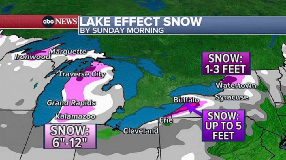
Western New York is bracing for an “extreme” lake-effect snowstorm that could dump up to 5 feet of snow in the Buffalo region over the coming days.
A lake-effect snow warning is in effect through 1 a.m. Saturday for southern Erie County.
The long-duration event is expected to bring snow belts to the south of Buffalo and Watertown on Thursday, with “intense bands” of lake-effect snow across the two cities Thursday night, according to the National Weather Service in Buffalo.

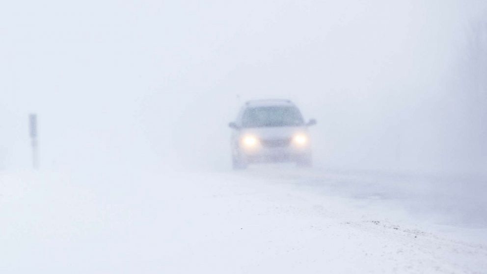
A winter road under a snowstorm in Buffalo, N.Y., in an undated stock photo.
STOCK PHOTO/Getty Images
Up to 5 feet of snow is possible for the region by Saturday morning. Winds gusting as high as 35 mph are also forecast. Snowfall rates of 2 to 3 inches per hour are possible for the south side of Buffalo Friday morning.
“Travel could be very difficult to impossible,” the National Weather Service in Buffalo warned. “The hazardous conditions will impact the commutes from Thursday morning through Friday evening.”
New York Gov. Kathy Hochul issued a state of emergency in 11 counties due to the storm, with hazardous travel conditions and lower power outages likely.
“This is considered an extreme event,” Hochul said during a press briefing Thursday morning. “That means it’s dangerous. That also means it’s life-threatening.”
Hochul said that conditions in Buffalo and other parts of western New York will be “very similar to 2014,” when the region saw upwards of 5 feet of snow during a deadly storm.
More than 350 plows, 5,700 utility crews and the National Guard have been deployed and are standing by, she said. Parts of the New York State Thruway will also be closed to commercial traffic starting at 4 p.m. Thursday.
“This can go on for a number of days,” Hochul said. “The cleanup is going to take some time.”

NY Division of Highway staff deploy to Buffalo ahead of the forecasted lake effect snowstorm, on Nov. 16, 2022.
NYS Thruway Authority
Schools in the region are preparing for closures on Friday due to the storm, including in Buffalo.
Erie County Executive Mark Poloncarz advised private businesses to close on Friday if the forecast holds.
“We are gonna have a doozy,” he said during a press briefing on Wednesday.
The city of Buffalo has brought in private contractors to handle the snow in addition to state support, according to Mayor Byron Brown.
“This is not the normal snow event that we get, so the public has to be patient,” Brown told reporters. “This is a major snowstorm.”

Lake-effect snow is common in the late fall and early winter along the downwind shores of the Great Lakes, which is caused by cold air flowing over the warmer waters of the Great Lakes.
In November 2014, more than 5 feet of lake-effect snow fell just east of Buffalo, in what was one of the most significant winter events in the city’s history, according to the National Weather Service. There were 13 fatalities due to the storm. A second lake-effect event days later dropped another 1 to 4 feet of snow in the same area, bringing the total from the two storms to nearly 7 feet.
Outside of New York, lake-effect snow is forecast in Erie, Pennsylvania, and northeast of Cleveland, Ohio.
ABC News’ Kenton Gewecke, Max Golembo, Victoria Arancio and Brian Hartman contributed to this report.

