
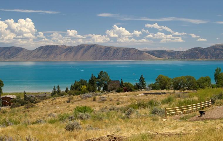
File photo of Bear Lake. the Caribbean of the West as it is sometimes called is 109 square miles of water used for recreation, water storage for irrigation and control floods down stream on the Bear River.
GARDEN CITY – Bear Lake could end up being used as a water storage reservoir for irrigations and flood control in the future, according to a recent study by reservoir modeling experts from the University of Colorado. A joint study called the “Joint Bear River Planning Model” will be used by Utah, Idaho, Wyoming and PacifiCorp to begin future analysis using the same data.
“We worked collectively using the model to address questions, challenges and concerns that affect Bear Lake operations and the Bear River systems,” said Connely Baldwin, a PacifiCorp hydrologist. “This model makes sure we’re all on the same page, using the same data and working from the same assumptions.”
Not only is the 109 square miles of water used as a recreation destination for thousands of people each year, it is also used to store water for irrigation and controls floods down stream on the Bear River. The area is also important to wildlife.

The study found the lake could be used as water storage at the beginning of a drought cycle capturing Bear Lake water to increase surface area and capture enough water to control floods. The stored water would be enough to irrigate Gentile Valley for a year. Gentile Valley is about a 20-mile section of the Bear River downstream from Grace, ID to Oneida Narrows in Franklin County.
“We understand the concerns of the property owners in flood-prone areas,” said David Hoekeena, a hydrologist leading the modeling effort for Idaho. “It is critical that we solve the problem of accommodating increased flows through these parts of the river for the project to go forward.”
The power company and three states involved in the study recognize Bear Lake and the Great Salt Lake are some of the region’s most important water resources and the Bear River operations effect both bodies of water.
“The Joint Bear River Planning Model will increase our ability to study and to improve the health of Great Salt Lake,” said Jake Serago, a senior engineer with the Utah Division of Water Resources. “Increasing upstream storage could affect the lake and we need to find a balance of upstream and downstream needs. One of the ways to keep the lake levels up is water conservation.”

As people reduce water use, more water can stay in the streams and lakes, he said.
The Great Salt Lake with its tourism, wildlife habitat, recreation and industry can generate about $1.3 million to the Utah economy. The Bear River is the largest tributary to the Great Salt Lake.
Bear Lake State Park alone brings in nearly $2 million annually with over 175,000 visitors per season.
Bear Lake operations will not change right away. PacifiCorp and the government agencies involved will continue to investigate ways to improve the operation of the Bear River System.